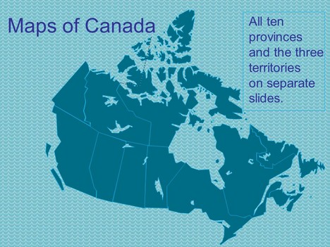
At Presentation Magazine we like to listen to requests and here’s one we had recently. This template shows the complete map of Canada, including ten provinces and three territories.
Canada is a North American country consisting of ten provinces and three territories. Located in the northern part of the continent, it extends from the Atlantic Ocean in the east to the Pacific Ocean in the west and northward into the Arctic Ocean. It is the world’s second-largest country by total area. Canada’s common border with the United States to the south and north-west is the longest in the world.
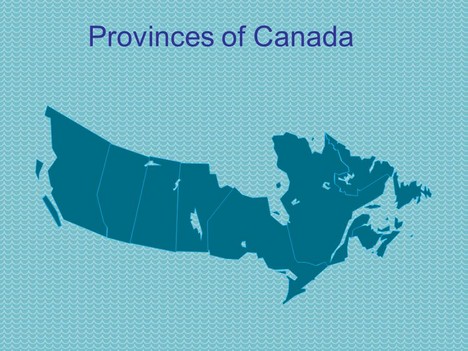
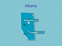
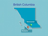
The ten provinces are Alberta, British Columbia, Manitoba, New Brunswick, Newfoundland and Labrador, Nova Scotia, Ontario, Prince Edward Island, Quebec, and Saskatchewan, while the three territories are Northwest Territories, Nunavut, and Yukon.
If you liked this PowerPoint Template we would appreciate you liking it on FaceBook or Tweeting it.
Published On: 17th Oct 2010
Read more about -Editable Map PowerPoint Templates , Blue, Canada, Editor's pick, Geography, Maps Template number 00807
-
Thanks for a great template! I will use it to highlight the major markets in which I work.
-
This is so useful. thank you!
-
The maps that you have done are really great. What would make them much more useful is if they were integrated so that they could be compatible with each other.
For example, I am doing a dynamic heat map for the US & Canada by state/province. But when I tried to combine your maps for each of them, I found that they did not fit together.
-
Thank you! Doing a presentation of a Canada wide research project.
-
Thanks for preparing these maps. Easy to use and exactly what I was looking for.
-
Thanks for these maps. They are exactly what I was looking for. I need to do a micro-teach for an interview and I plan to teach the 10 provinces to some UK collegues.
-
thankyou so much!
-
Thank you so much – this is amazingly useful for my work!
-
we used it to show our sales reps around the country and in canada.
-
Hi There!
I will be using it to label all the stores in Canada for my company:) -
Thank you, this is wonderful
-
can we request for a philippine editable map? thank you for doing such things it is really a big help for us.. Thank You
-
Thoughtful discussion , I was fascinated by the specifics ! Does someone know where my company could find a blank a form version to fill in ?
-
Hi veron, what do you mean a blank form?