Educational Powerpoint Templates , Creative, Editor's pick, Geography, History, Maps, Sailing, Sepia
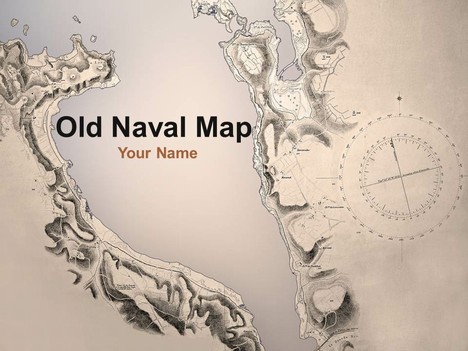
This detailed template shows photographs taken of some naval maps recently bought at auction by our Editor Jonty Pearce.
A nautical chart is a graphic representation of a maritime area and adjacent coastal regions. Depending on the scale of the chart, it may show depths of water and heights of land, natural features of the seabed, details of the coastline, navigational hazards, locations of natural and man-made aids to navigation, information on tides and currents, local details of the Earth’s magnetic field, and man-made structures such as harbours, buildings and bridges. Nautical charts are an essential tools for marine navigation; many countries require vessels, especially commercial ships, to carry them.
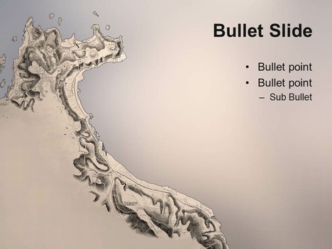
This would be a great template for a geography or history presentation, or could even be used as a sailing template.
If you liked this PowerPoint Template we would appreciate you liking it on FaceBook or Tweeting it.
Published On: 9th Aug 2011
Read more about -Educational Powerpoint Templates , Creative, Editor's pick, Geography, History, Maps, Sailing, Sepia Template number 00666
-
thank you so much.