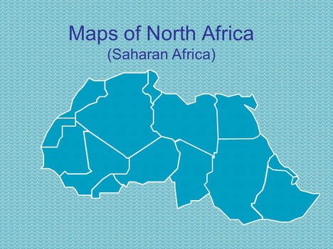
These PowerPoint maps of North Africa (Saharan Africa) are all in vector format and are easily editable.
The maps include Egypt, Ethiopia, Libya, Mali, Mauritania, Morocco, Niger, Sudan, Tunisia, Western Sahara, Algeria, Chad, Burkina Faso, Eritrea and Djbouti.
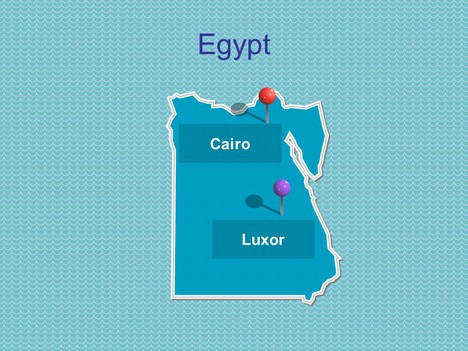
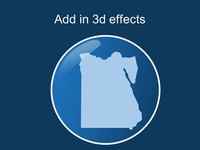
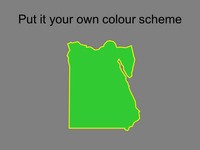
As with all of our maps they contain our 3D pins and allow you to add in 3d effects, or colour code the countries to fit in with your own colour scheme or similar requirements.
Perfect for a geography project.
If you liked this PowerPoint Template we would appreciate you liking it on FaceBook or Tweeting it.
Published On: 15th Sep 2009
Read more about -Editable Map PowerPoint Templates , Africa, Geography, Maps Template number 00221
-
You excluded the countries of Eritrea and Djbouti which are on the Red Sea between Ethiopia and Sudan.
-
We have now included Eritrea and Djbouti on our map of North Africa
-
Wow! This is just amazing! Thank you 🙂
-
Hello, when could we have the map of entire Africa ?Thanks !